The important part is easy to miss
The Pont du Gard makes an excellent first impression: three tiers of arches, a river below and enough stone to make a person feel briefly underqualified at stacking things. Yet the most revealing feature is less dramatic. The water needed a carefully managed downhill route. The tall bridge was part of a much longer, gently descending system.
That combination makes the structure especially interesting to explore. Something enormous served an everyday purpose, and its success depended on a comparatively small change in height. The skyline catches the eye; the slope explains the job.
Follow the water, not just the bridge
The Pont du Gard’s own interpretation of the monument describes an aqueduct running roughly 50 kilometres from a spring near Uzès to Nîmes. Its average gradient was about 25 centimetres per kilometre. Water travelled by gravity; the bridge carried the channel across a valley while maintaining the route.
Keep “average” in that explanation. It is not a measurement of every individual stretch, and the bridge is not the whole aqueduct. A simple route sketch with the source, valley and destination helps separate those ideas without demanding a page of calculations.
An everyday story in an extraordinary building
The site’s history of the aqueduct connects the water supply with urban life, including fountains and baths. That is a useful way to approach Roman architecture without beginning with conquest or a list of rulers. People wanted water where they lived; builders had to negotiate the landscape to deliver it.
Ask what a modern town needs to move invisibly: water, electricity, waste or information. The comparison need not imply that ancient and modern systems were identical. It simply brings the original problem within reach of ordinary experience.
See the repetition before the detail
UNESCO’s Pont du Gard entry provides World Heritage context and images for a closer look. Compare the arches in different tiers. Look at the rhythm of supports, the changing scale and the spaces left open beneath the structure.
On scrap paper, draw only those open spaces. This reverses the usual approach: instead of trying to sketch every stone, use the gaps to organise the shape. Label it an observation sketch, not a measured plan. The aim is to see the arrangement more clearly.
A model can make the arrangement tangible
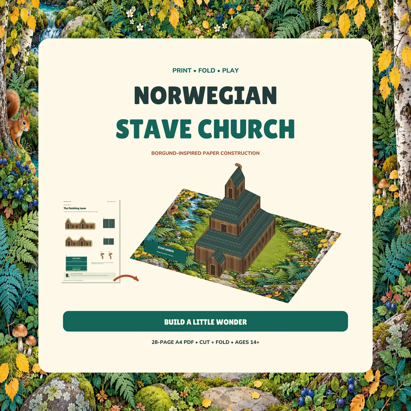
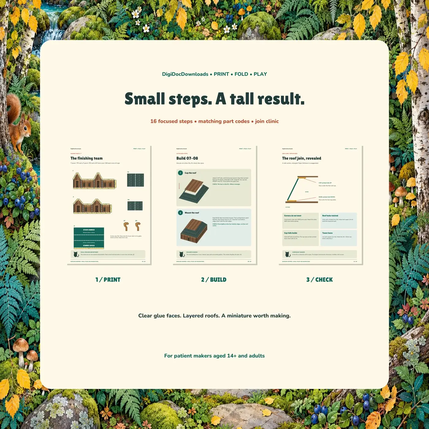
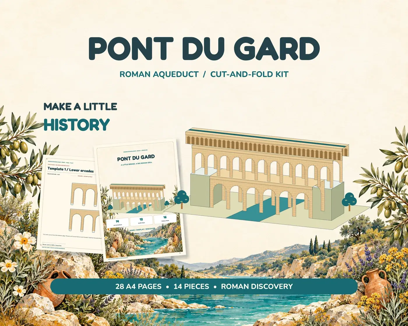
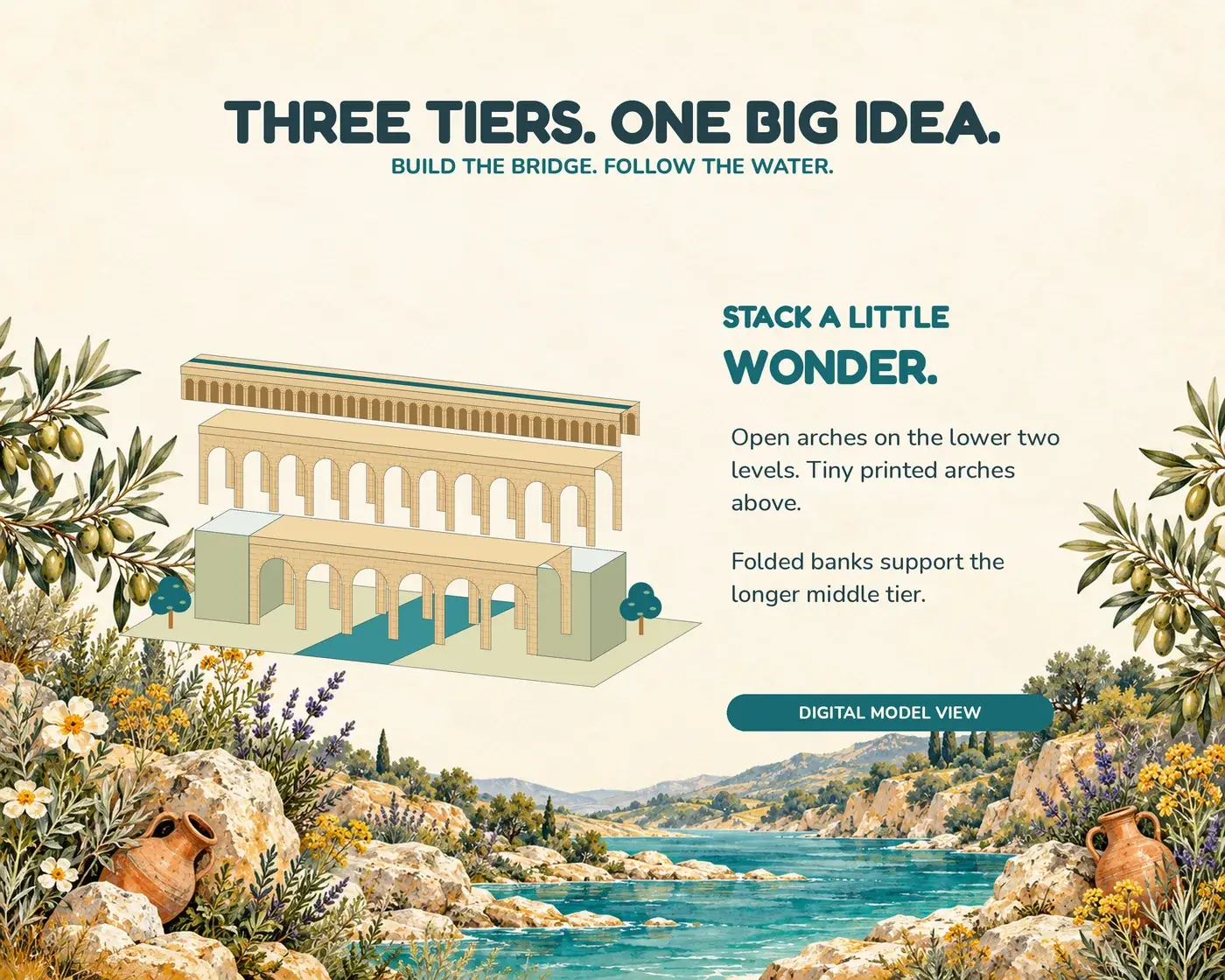
Our Pont du Gard paper model uses six template sheets and a display board within a 28-page pack. It is a simplified display model for ages 12+ with adult help, with an estimated two to four hours of making plus drying. The specified card, scoring and assembly matter more than whether the first arch is instantly immaculate.
It is not a working water channel, and we do not claim an independently tested load capacity or novice build result. For an educational display, the architecture mini-exhibition guide explains how to place a model beside a route sketch and a short evidence-based label.
Let one question survive the activity
Finish with a question the model cannot answer on its own: how did builders keep the route descending so gently across such a long distance? The monument’s museum and history pages are good places to continue. The paper version has made the arrangement easier to see; the original sources can explain more of the engineering.
That is a useful division of labour. A model gives the hands something to understand, while a checked source keeps the history accurate. Neither needs to do the other’s entire job.
More to read, make and discover
A few useful, interesting and checked routes into the subject.
- Further readingPont du Gard: the monument
The aqueduct bridge and the small gradient carrying water to Nîmes.
- Further readingPont du Gard: history
French site interpretation of the aqueduct’s history.
- Further readingUNESCO: Pont du Gard
World Heritage context for the Roman aqueduct bridge.